AHTNA SOLUTIONS, LLC
COMPANY INFORMATION
PRIMARY NAICS
541620
CAGE CODE
89LA0
UEI
QN4GQPHMH3Q6
BUSINESS TYPE
Small Disadvantaged Business
Minority Owned Native American/
Alaska Native
8(A) ENTRANCE DATE
12/24/2019
8(A) EXIT DATE
12/24/2029
SBA PROGRAMS


cONTACT

Greg Jarrell
VICE PRESIDENT OF ENVIRONMENTAL SERVICES
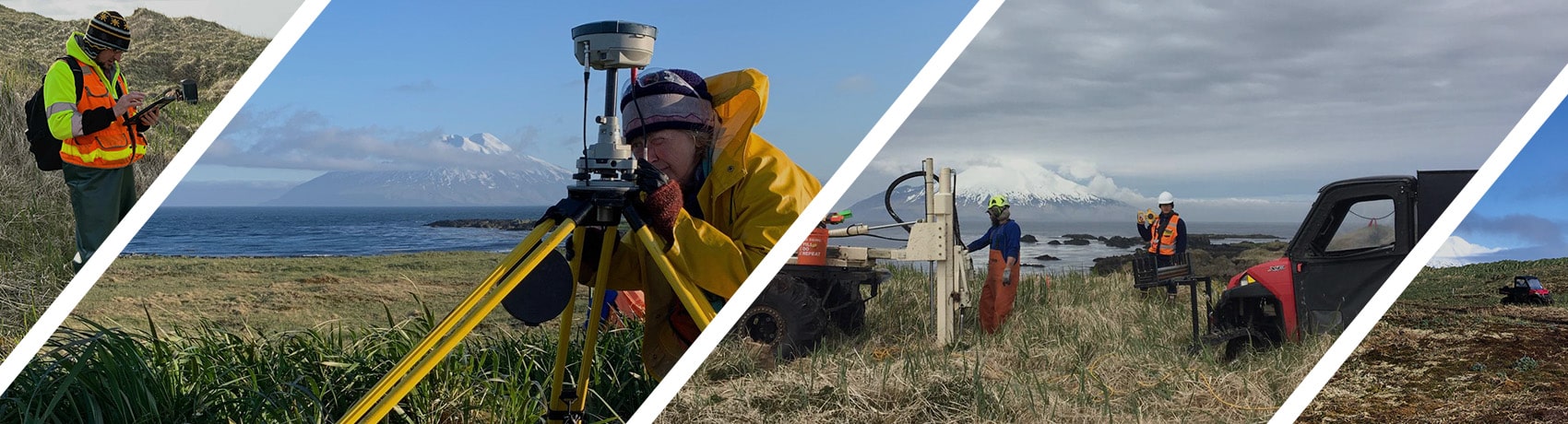
oUR SERVICES
ASL provides geospatial services with expertise in Computer-aided Design (CADD), Geographic Information System (GIS), and database technologies. These evolving services provides our clients with reliable and consistent tactical and strategic decision support solutions, automates appropriate business processes and simplifies routine operations.


FEATURED PROJECTS